


 +86-20-82108930
 info@alpha-surveying.com


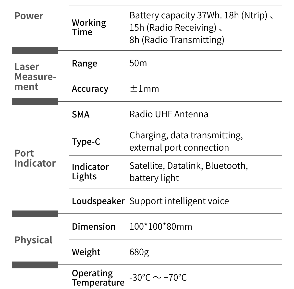
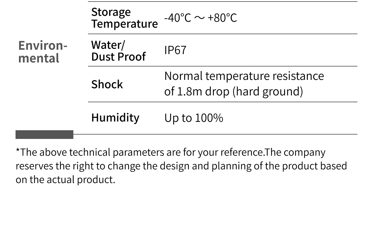
- Parameters
- Size: 100*100*80 mm
- Weight: 680g
Why Choose Alpha 40
The Alpha 40 brings together several technologies that are typically used separately in surveying workflows. By combining GNSS positioning, laser measurement, optical calibration, inertial navigation, and dual-camera AR guidance in one receiver, it helps survey teams complete challenging measurement and stakeout tasks more efficiently while reducing unnecessary field movements and improving operational flexibility.
1. What types of measurements is the Alpha 40 designed for?
It supports RTK surveying, laser measurement, non-contact point collection, tilt measurement, and AR-guided stakeout.
2. Can it measure inaccessible points?
Yes. Its laser measurement and optical calibration workflow is intended for hidden, elevated, underground, or otherwise inaccessible points.
3. Does it support tilt compensation?
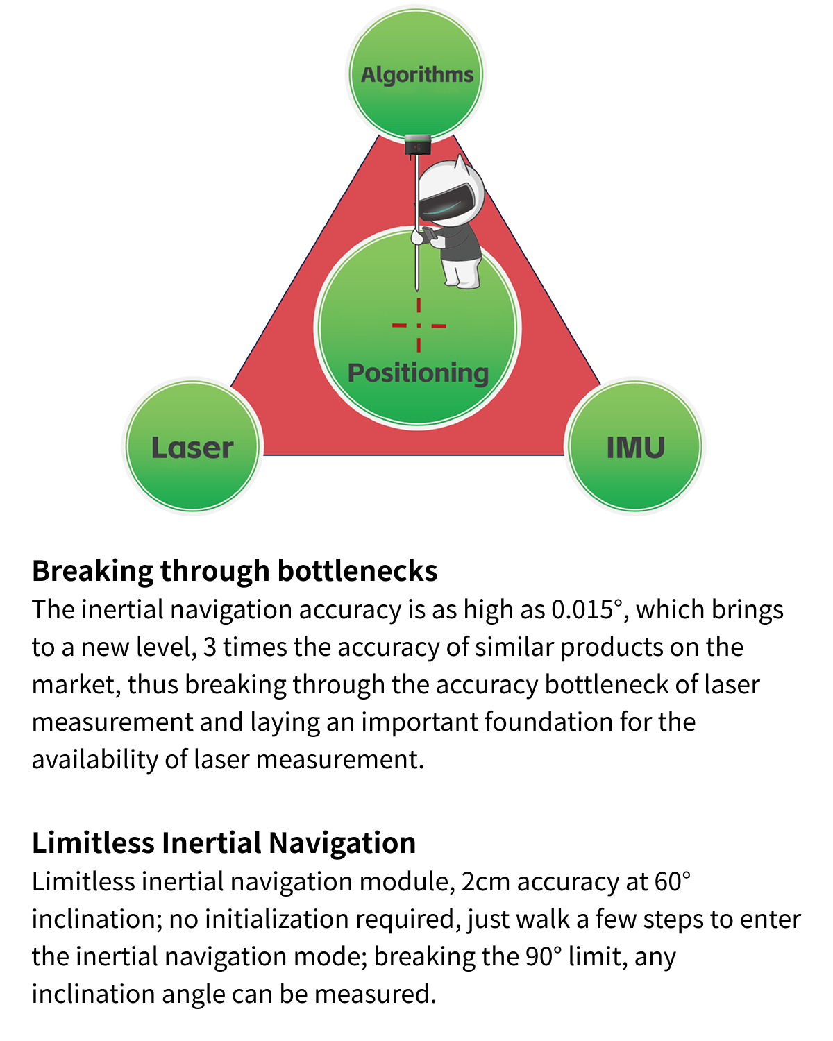
Yes. The receiver provides tilt compensation up to 60° using an integrated inertial navigation system.
4. What communication methods are available?
The Alpha 40 supports UHF radio, LoRa, Bluetooth, Wi-Fi, and 4G connectivity.
5. Can it be used as a drone base station?
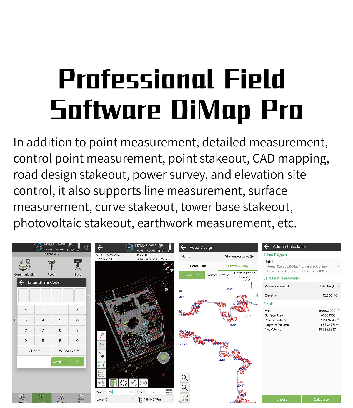
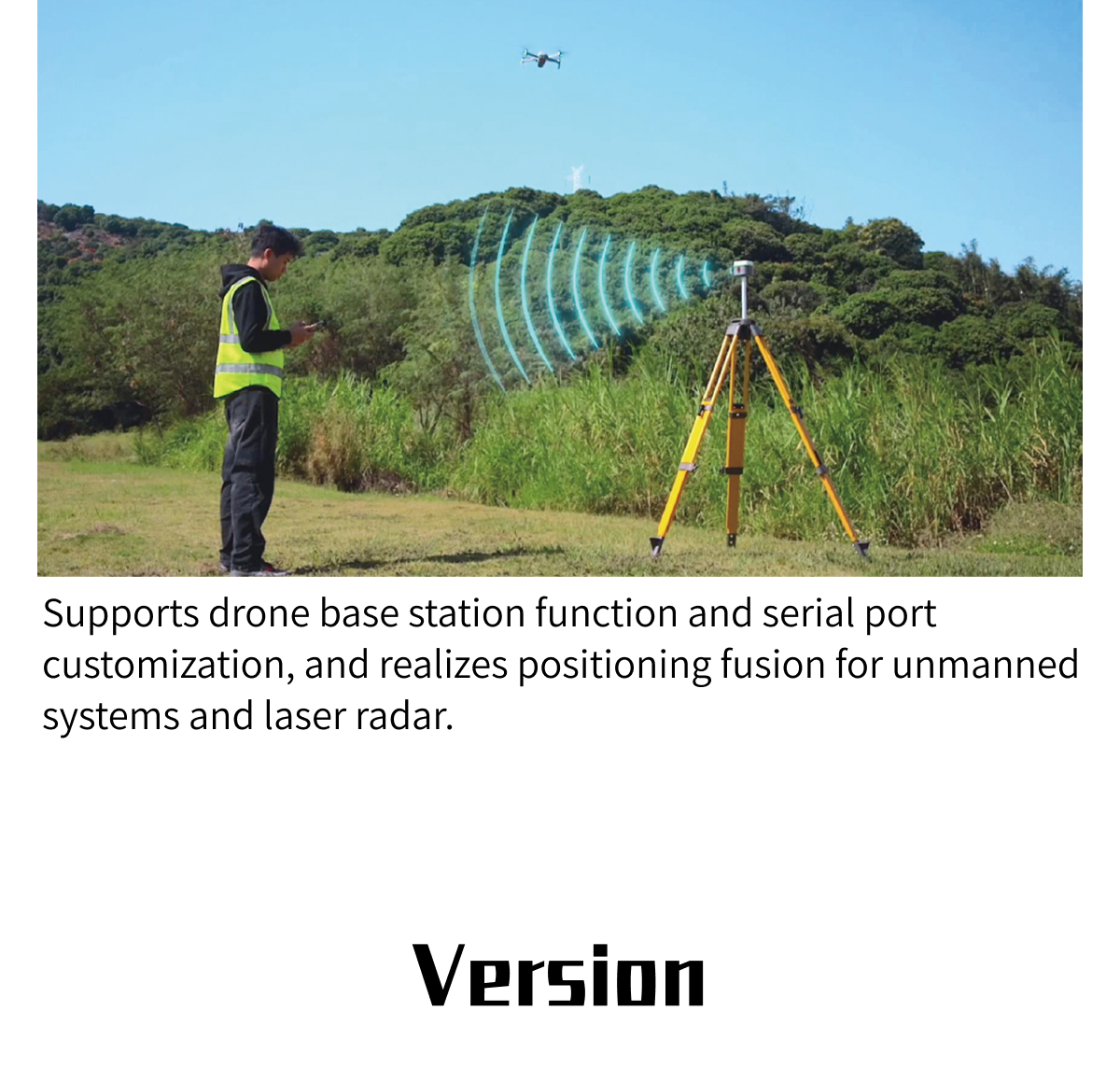
Yes. The DiMap Pro platform supports drone base station functionality and positioning support for unmanned systems.
6. Which software is included?
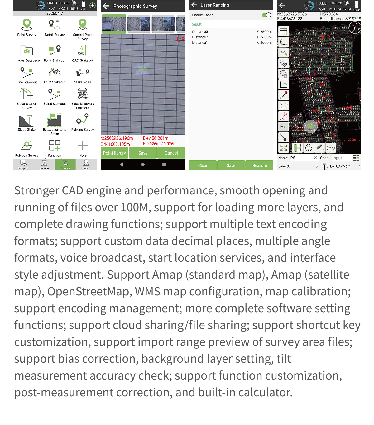
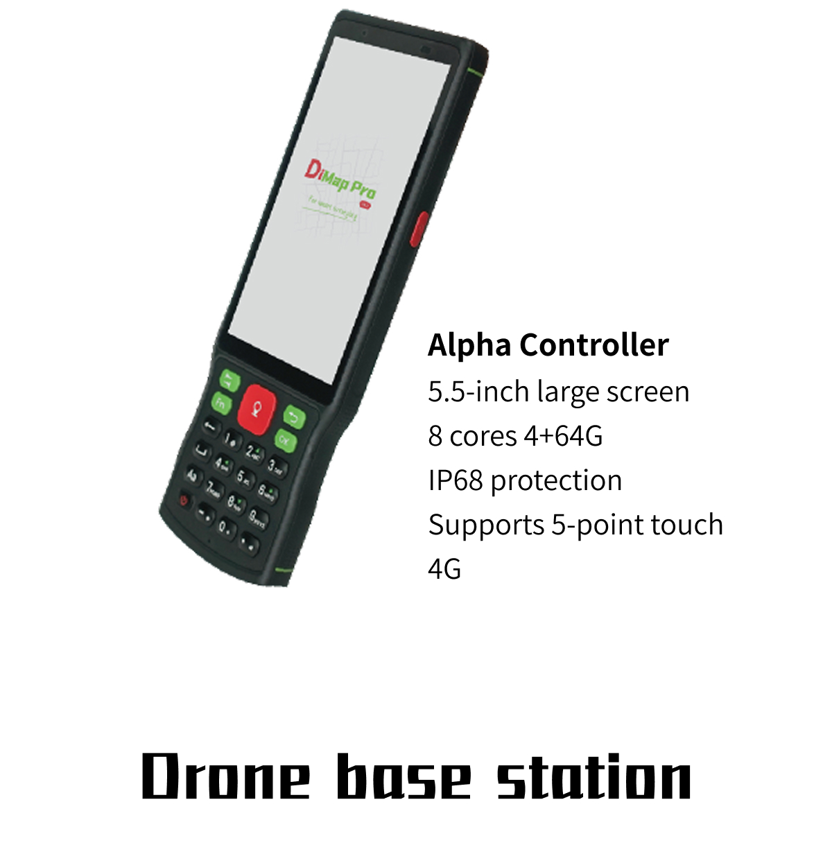
The Alpha 40 is supplied with DiMap Pro field software for surveying, CAD mapping, stakeout, road design, earthwork measurement, and additional surveying workflows.











 Copy product links
 Long by picture save/share
INQUIRY


Add Successfully
INQUIRY
Add Successfully


Copyright @ VillaGrandis All Rights Reserved 粤ICP备2021072613号-2 网站地图
